UN
14 Rhode Island Drive
£ 400,000
Description
We don't have a Description for this property.
- Bedrooms
- 3
- Bathrooms
- 0
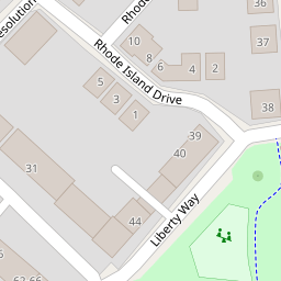
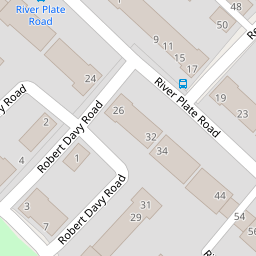
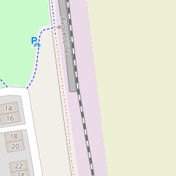

Leaflet © OpenStreetMap contributors
The heatmap indicates the level of crime in the area. The color of the heatmap indicates the crime severity and recency.
Metrics Year-on-Year
- Average area value
- 528,231.00 £Increased by 3.23 %
- Average area rental value
- 1,833.00 £/moIncreased by 1.05 %
- Est rental Yield
- 4.16 %Decreased by 2.12 %
- Crime Rate
- 28.00 %Unchanged by 0.00 %
from 511,722.00 £
from 1,814.00 £/mo
from 4.25 %
from 28.00 %
Nearby Schools
| Name | Type | Ofsted | Distance |
|---|---|---|---|
| Trinity Church Of England Voluntary Aided Primary And Nursery School | Voluntary Aided School | 0.25 KM | |
| Clyst Heath Nursery And Community Primary School | Community School | Good | 1.25 KM |
| Stansfield Academy | Academy Alternative Provision Sponsor Led | 1.49 KM | |
| St Peter'S Church Of England Aided School | Voluntary Aided School | Good | 2.01 KM |
| The Topsham School | Community School | Good | 2.03 KM |
Images
Nearby Streets
| Name | Average Price | Average Sqft | Distance |
|---|---|---|---|
| Beech Copse | £ 0 | 0 | 0.00 KM |
| Carrick Mill | £ 875,000 | 0 | 0.00 KM |
| Artillery Avenue | £ 750,000 | 0 | 0.00 KM |
| Coles Crescent | £ 0 | 0 | 0.00 KM |
| Victoria Mead | £ 637,500 | 0 | 0.00 KM |
Nearby Transport
| Name | NLC | TLC | Distance |
|---|---|---|---|
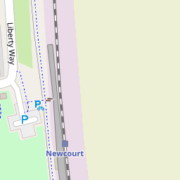
| Newcourt | 9589 | NCO | 0.23 KM |
| Digby And Sowton | 5753 | DIG | 1.20 KM |
| Topsham | 5758 | TOP | 2.15 KM |
| Pinhoe | 5757 | PIN | 3.88 KM |
| Polsloe Bridge | 3422 | POL | 4.41 KM |
Nearby Listings
| Address | Price | Type | Score | Distance |
|---|---|---|---|---|
| Exeter | £ 325,000 | BUY | 8 / 10 | 0.00 KM |
| River Plate Road, Exeter | £ 189,950 | BUY | 6 / 10 | 0.06 KM |
| River Plate Road, Exeter EX2 7FD | £ 390,000 | BUY | 8 / 10 | 0.09 KM |
| River Plate Road, The Rydons, Exeter | £ 325,000 | BUY | 7 / 10 | 0.12 KM |
| Resolution Road, Exeter | £ 550,000 | BUY | Unknown | 0.12 KM |
Nearby Properties
| Address | Price | Distance |
|---|---|---|
| 16 Rhode Island Drive | £ 228,000 | 0.00 KM |
| 14 Rhode Island Drive | £ 400,000 | 0.00 KM |
| 45 River Plate Road | £ 158,000 | 0.08 KM |
| 43 River Plate Road | £ 180,000 | 0.08 KM |
| 39 River Plate Road | £ 162,000 | 0.08 KM |